

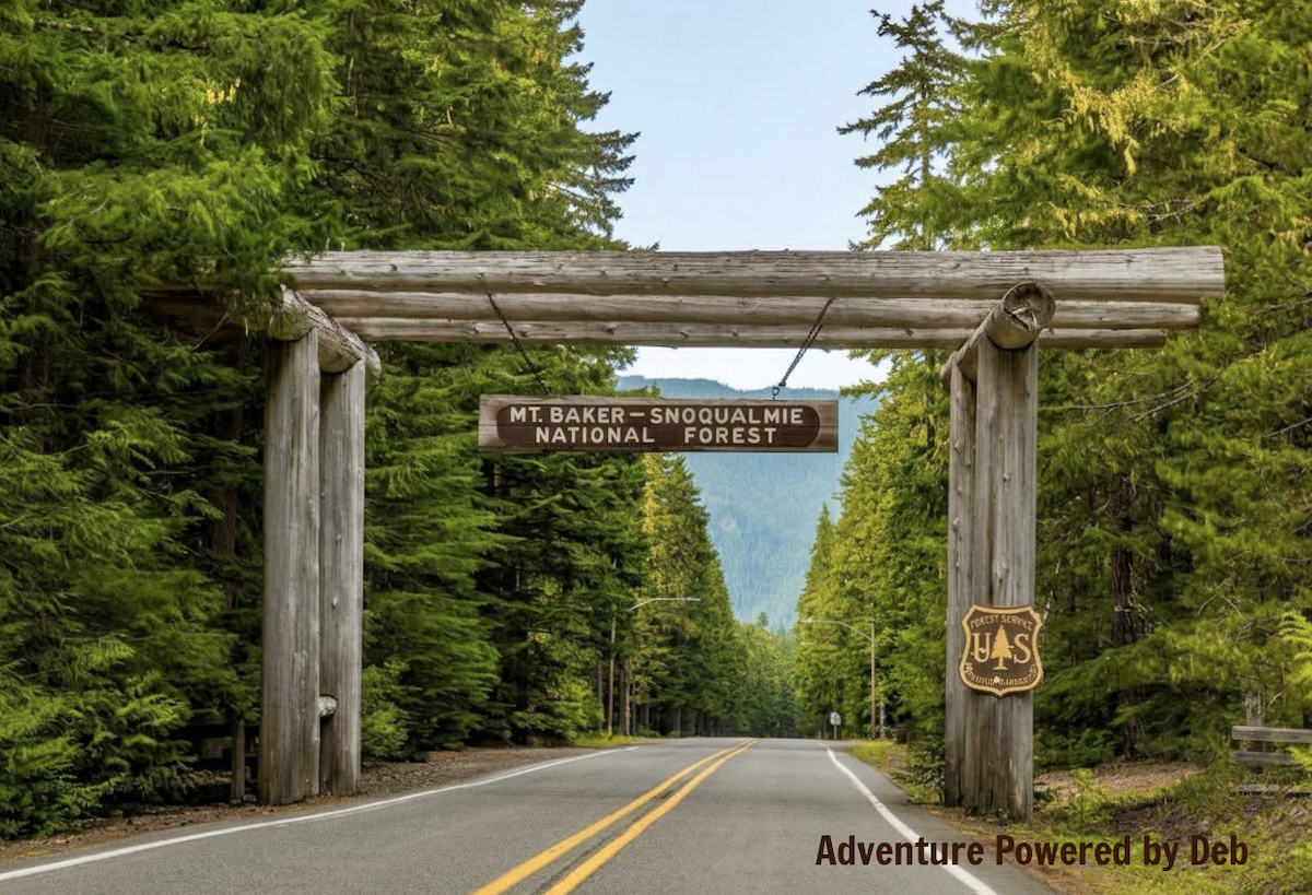
Photo credit: Tony Webster ~ San Francisco, CA / Wikimedia Commons
Mount Baker-Snoqualmie National Forest
Hugging the western slopes of the Cascades, Mount Baker-Snoqualmie National Forest is a breathtaking stretch of Pacific Northwest wilderness where jagged alpine peaks meet lush, moss-draped valleys. Extending all the way from the Canadian border down toward Mount Rainier, this massive forest encompasses towering old-growth evergreens, ice-carved glaciers, and roaring subalpine rivers. It serves as a natural transition zone right alongside North Cascades National Park, offering endless trailheads for hikers eager to step deeper into the mountains.
About Our Hikes
The day before, we’d considered returning to North Cascades National Park to tackle the challenging Maple Pass Trail, eager to get above the tree line for those famous 360-degree mountain views. At the last minute, though, we decided to explore a completely different—and equally gorgeous—corner of the Cascades. We spent our day in Mount Baker-Snoqualmie National Forest taking on two distinct hikes: the Picture Lake Trail, a short and level loop, and the Artist Ridge Trail, a steeper, rockier path where we could set our own distance.
Our first stop was Picture Lake, where my husband had visions of capturing that iconic, mirror-like reflection of Mount Shuksan. The weather, however, had other plans! Heavy cloud cover and a soft drizzle rolled in, but instead of ruining the view, the overcast sky delivered a series of moody, atmospheric shots. From there, we drove farther up the mountain to Artist Ridge. Though the surrounding peaks remained socked in by fog, the mist and rain lent a dramatic backdrop to a hike that ended up covering far more ground than we’d originally planned.
Picture Lake Trail Hike Overview
- • Location: Picture Lake Trail in Mount Baker-Snoqualmie National Forest
• Start/Finish: parking lot near trailhead
• Course Type: loop
• Course Surface: paved
• Distance: . 4 miles
• Moving time: 8:27
• Average Pace: 21:12 minute/mile - • Elevation Gain: 17 feet
• Elevation Range: 4,117 feet to 4,139 feet
• Weather: 54° and cloudy with occasional drizzle
• Date of Hike: July 26, 2026
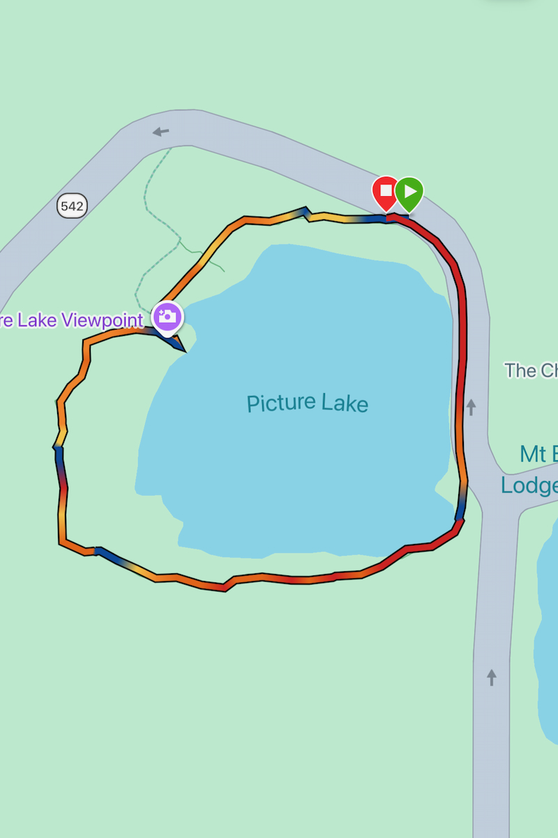
• Start time: 1:17 PM - • Course map from Strava:
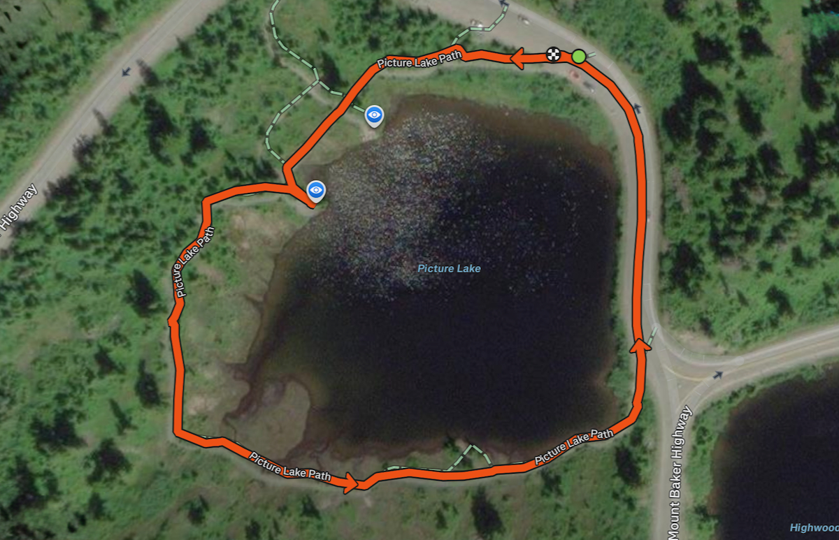
Pictures Tell the Story
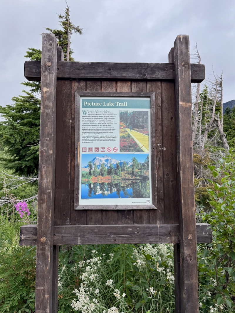
Seeing postcard photos like this AI-generated version of Mount Shuksan reflecting in Picture Lake is what originally made this a must-do stop for us. In reality, the light wind, drizzle, and low fog meant our photos looked entirely different—but no less memorable!

After snagging a parking spot right next to the trailhead, we threw on our raincoats for an easy stroll around the lake. A rich variety of beautiful wildflowers lined much of the paved trail and wooden boardwalk as we walked along.


Here is the reality of our visit versus the postcard view. These two shots, taken about half an hour apart, show the best we could do with Mount Shuksan hiding behind low clouds and a light breeze stirring the water.

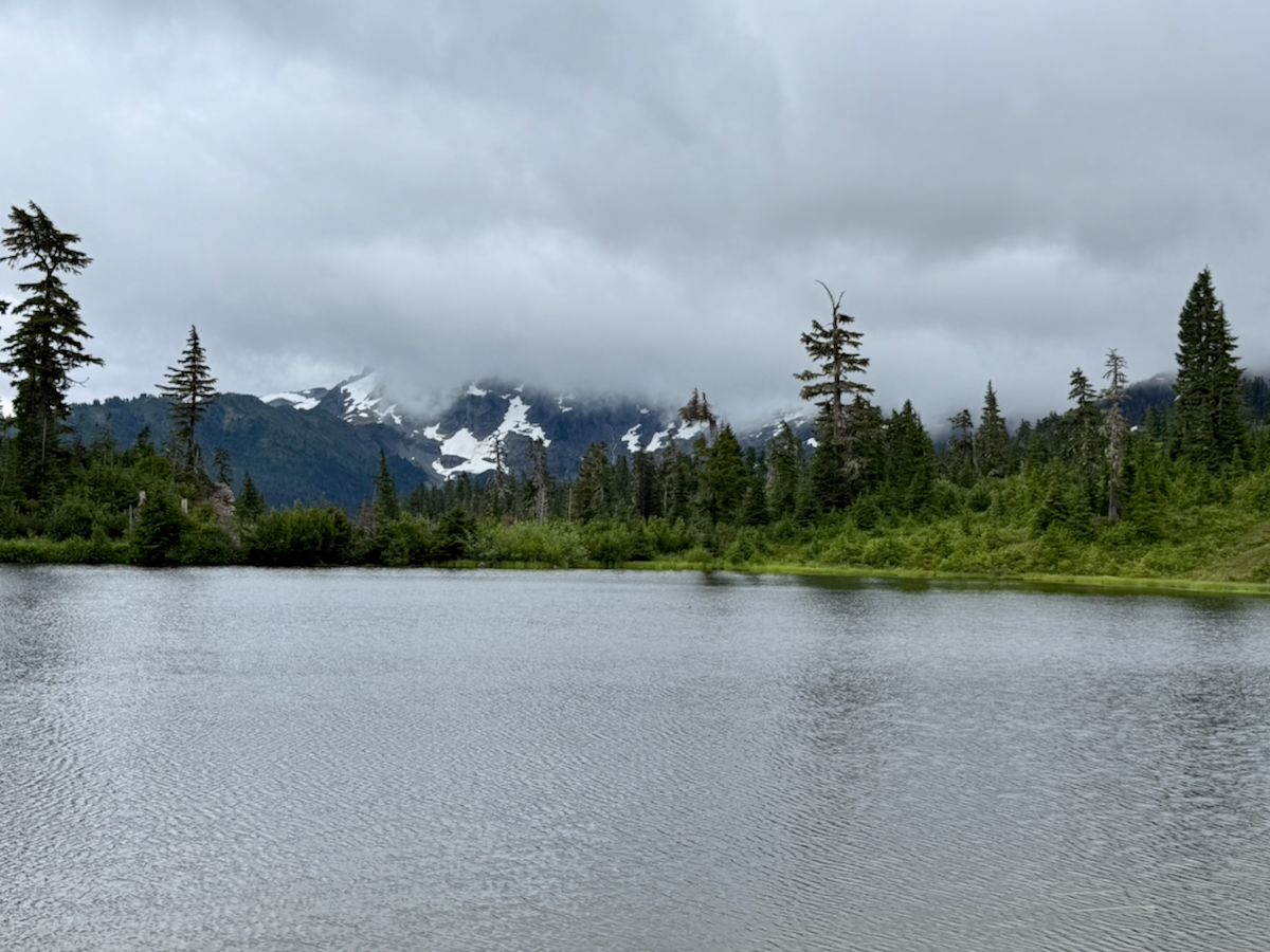
Just a few minutes later, the fog lifted slightly higher off the mountain, but a steady breeze kept rippling the water and robbing us of that glass-like reflection.

Turning around with Mount Shuksan behind my left shoulder, the view across Picture Lake opened up toward Mount Herman and Table Mountain. If you look closely at the tree line near the center, you can spot a ski lodge nestled in the forest!

As we finished our loop, bright pink fireweed framing a misty view of Mount Herman across Picture Lake proved that even without a perfect mountain reflection, this easy hike was well worth every drop of rain.

Garmin Stats
Garmin map and elevation chart…

Artist Ridge Trail Hike Overview
- • Location: Artist Ridge Trail in Mount Baker-Snoqualmie National Forest
• Start/Finish: parking lot near trailhead
• Course Type: out and back
• Course Surface: dirt and rocks
• Distance: 1.54 miles
• Moving time: 45:05
• Average Pace: 29:11 minute/mile - • Elevation Gain: 251 feet
• Elevation Range: 5,069 feet to 5,231 feet
• Weather: 52° (feels like 47°), rainy, and foggy, dropping to 50° (feels like 45°)
• Date of Hike: July 26, 2026
• Start time: 2:51 PM - • Course map from Strava:

Pictures Tell the Story
After wrapping up our first hike, we drove up the harrowing mountain road (Highway 542) to Artist Point, stopping along the way for a rather chilly picnic lunch. Set high on Kulshan Ridge between Mount Baker and Mount Shuksan, the area immediately blew us away. What we expected to be a quick, straightforward walk along the Artist Ridge Trail to catch the first great viewpoint turned into a much longer trek the moment we decided to keep hiking farther to soak in the incredible surrounding terrain.


We continued up the ridge, following the well-maintained stone steps and gentle gravel path as the trail climbed higher into the beautiful subalpine landscape—until the formal path gave way to rocks and underbrush. With a thick blanket of fog rolling over the slopes giving the whole scene an amazingly cool, moody vibe.


Eventually, we arrived at an alpine tarn—a small glacial pond formed by meltwater—where the defined trail picked back up again. Even without any clear-day reflections, the raindrops hitting the water nestled among the rocks met the mood of the day.


Just beyond the tarn lay a lush meadow filled with rich evergreens, vibrant green undergrowth, and scattered pink wildflowers. It was a purely magical landscape—and it was right in the middle of all that beauty that we managed to get lost… sort of.

Standing at the high point of the ridge, we scratched our heads and took an educated guess on how to make our way back to the SUV. We knew we had to head down—that much was obvious—and roughly in that direction. The real puzzle was figuring out which path would actually take us there.

After descending for a bit, we quickly realized we were on the wrong path—we definitely hadn’t climbed up anything this steep on our way in! Turning around to find the right way resulted in an impromptu scramble over some large boulders, which seemed even steeper on the way back up.


Ah, much better! We finally intercepted the main trail we’d taken on the way up and retraced our steps back down, finishing with another epic hike in the books.


Garmin Stats
Garmin map and elevation chart…


Final Thoughts on Our Hikes
Exploring both Picture Lake and Artist Ridge Trail made for an unforgettable day in Mount Baker-Snoqualmie National Forest. Even without classic postcard reflections on the water, the moody mist sweeping across Picture Lake set a tranquil, breathtaking tone for the morning. Moving higher onto Artist Ridge brought its own rewards, from quiet alpine tarns to foggy trail detours and an unexpected boulder scramble. It was the absolute perfect mix of iconic North Cascades scenery, cool mountain air, and pure trail fun.
Questions
- • Have you ever visited Mount Baker-Snoqualmie National Forest? Had you even heard of it before reading my recap? ~ This was our first visit and I wasn’t familiar with it before planning our visit.
- • Do you prefer clear, sunny days on the trail, or do you enjoy a cool, foggy vibe like we had? ~ both
- • Do you mind driving on twisty mountain roads? ~ Even though I grew up driving back and forth over a mountain to get to town from our farm, those slopes were covered in trees. Having all those trees definitely helped keep the steep drop-offs from looking so scary!
I’m linking up with Jenn from Runs with Pugs and Jenny of Runners Fly for Tuesday topics Link-Up. Be sure to check out not only the hosts’ posts, but those of the other great bloggers joining in on the fun!

No Comments Yet